Skip to search
Skip to main content
Skip to first result
Skip to matching collections
Skip to limit your search
Skip to search
Duke University Libraries
Repository
Collections & Archives
Search
{:label=>"Search"}
Login
Ask
Menu
Menu
Login
Ask a Librarian
Search & Find
Using the Library
Research Support
Course Support
Libraries
About
Search
Search Constraints
New Search
You searched for:
-date_tesim:[* TO *]
✖
Remove constraint -date_tesim:[* TO *]
Collection Group
Data and Visualization Services
✖
Remove constraint Collection Group: Data and Visualization Services
Matching Collections (2)
1.
Duke University Aerial Photographs
2.
Global GIS DVD
« Previous |
1
-
50
of
5,119
|
Next »
Sort
by date (new to old)
relevance
title
date (old to new)
date (new to old)
Number of results to display per page
50
per page
per page
10
per page
20
per page
50
per page
100
per page
View results as:
List
List
Gallery
Gallery
Search Results
1.
Canada - Lakes
File:
Login to Download
26.5 KB — Binary
(application/x-zip-compressed)
Part of:
Canada - Lakes
2.
AJS1HH251
File:
Download
9.4 MB — Image
(image/jpeg)
Part of:
Durham Aerial Imagery (USDA) - 1966
3.
United States - Populated Places Boundaries
File:
Login to Download
35.8 MB — Binary
(application/x-zip-compressed)
Part of:
United States - Populated Places Boundaries
4.
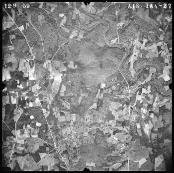
AJS1AA042
File:
Download
8.57 MB — Image
(image/jpeg)
Part of:
Durham Aerial Imagery (USDA) - 1960
5.
AJS1HH070
File:
Download
9.24 MB — Image
(image/jpeg)
Part of:
Durham Aerial Imagery (USDA) - 1966
6.
Canada - Urban Cities
File:
Login to Download
32.2 KB — File
(text/html)
Part of:
Canada - Urban Cities
7.
The Latin American Public Opinion Project, Uruguay, 2006, technical information
File:
Login to Download
76.7 KB — PDF
(application/pdf)
Part of:
The Latin American Public Opinion Project, Uruguay, 2006
8.
AJS1AA028
File:
Download
7.38 MB — Image
(image/jpeg)
Part of:
Durham Aerial Imagery (USDA) - 1960
9.
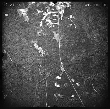
AJS1HH010
File:
Download
9.22 MB — Image
(image/jpeg)
Part of:
Durham Aerial Imagery (USDA) - 1966
10.
AJS2HH011
File:
Download
8.31 MB — Image
(image/jpeg)
Part of:
Durham Aerial Imagery (USDA) - 1966
11.
Codebook
File:
Download
372 KB — PDF
(application/pdf)
Part of:
Census 2010 Maps, North Carolina Counties and Tracts
12.
AJS07P047
File:
Download
7.66 MB — Image
(image/jpeg)
Part of:
Durham Aerial Imagery (USDA) - 1955
13.
AJS1AA067
File:
Download
8.15 MB — Image
(image/jpeg)
Part of:
Durham Aerial Imagery (USDA) - 1960
14.
United States - Census Block Centroid Populations - Tennessee
File:
Login to Download
3.78 MB — Binary
(application/x-zip-compressed)
Part of:
United States - Census Block Centroid Populations
15.
United States - Lakes
File:
Login to Download
11.3 KB — Binary
(application/x-zip-compressed)
Part of:
United States - Lakes
16.
AJS1HH074
File:
Download
9.04 MB — Image
(image/jpeg)
Part of:
Durham Aerial Imagery (USDA) - 1966
17.
AJS2HH010
File:
Download
8.3 MB — Image
(image/jpeg)
Part of:
Durham Aerial Imagery (USDA) - 1966
18.
AJS2AA060
File:
Download
8.48 MB — Image
(image/jpeg)
Part of:
Durham Aerial Imagery (USDA) - 1960
19.
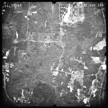
AJS1HH266
File:
Download
9.11 MB — Image
(image/jpeg)
Part of:
Durham Aerial Imagery (USDA) - 1966
20.
AJS1HH277
File:
Download
9.23 MB — Image
(image/jpeg)
Part of:
Durham Aerial Imagery (USDA) - 1966
21.
AJS12P024
File:
Download
7.46 MB — Image
(image/jpeg)
Part of:
Durham Aerial Imagery (USDA) - 1955
22.
Canada - Rivers
File:
Login to Download
50.2 KB — Binary
(application/x-zip-compressed)
Part of:
Canada - Rivers
23.
AJS1HH071
File:
Download
9.37 MB — Image
(image/jpeg)
Part of:
Durham Aerial Imagery (USDA) - 1966
24.
Annual Data - Dataset (2009 update)
File:
Login to Download
250 KB — Binary
(application/x-zip-compressed)
Part of:
Annual Data
25.
AJS3AA107
File:
Download
7.52 MB — Image
(image/jpeg)
Part of:
Durham Aerial Imagery (USDA) - 1960
26.
AJS3AA104
File:
Download
7.4 MB — Image
(image/jpeg)
Part of:
Durham Aerial Imagery (USDA) - 1960
27.
AJS12P033
File:
Download
7.38 MB — Image
(image/jpeg)
Part of:
Durham Aerial Imagery (USDA) - 1955
28.
AJS1HH167
File:
Download
9.1 MB — Image
(image/jpeg)
Part of:
Durham Aerial Imagery (USDA) - 1966
29.
AJS1HH004
File:
Download
9.5 MB — Image
(image/jpeg)
Part of:
Durham Aerial Imagery (USDA) - 1966
30.
AJS3AA122
File:
Download
7.69 MB — Image
(image/jpeg)
Part of:
Durham Aerial Imagery (USDA) - 1960
31.
AJS1HH024
File:
Download
9.53 MB — Image
(image/jpeg)
Part of:
Durham Aerial Imagery (USDA) - 1966
32.
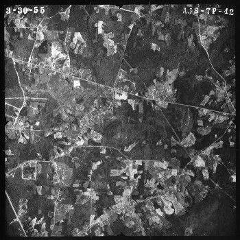
AJS07P042
File:
Download
7.49 MB — Image
(image/jpeg)
Part of:
Durham Aerial Imagery (USDA) - 1955
33.
AJS1HH170
File:
Download
8.9 MB — Image
(image/jpeg)
Part of:
Durham Aerial Imagery (USDA) - 1966
34.
AJS12P079
File:
Download
7.1 MB — Image
(image/jpeg)
Part of:
Durham Aerial Imagery (USDA) - 1955
35.
AJS1AA054
File:
Download
8.3 MB — Image
(image/jpeg)
Part of:
Durham Aerial Imagery (USDA) - 1960
36.
AJS3AA108
File:
Download
7.43 MB — Image
(image/jpeg)
Part of:
Durham Aerial Imagery (USDA) - 1960
37.
United States - Census Block Centroid Populations - Utah
File:
Login to Download
1020 KB — Binary
(application/x-zip-compressed)
Part of:
United States - Census Block Centroid Populations
38.
1st century A.D. (0) - Bibliography
File:
Login to Download
52.5 KB — File
(text/html)
Part of:
Euratlas Historical Political Boundaries of Europe - 1st century A.D.
39.
Mexico - Major Roads
File:
Login to Download
9.38 KB — Binary
(application/x-zip-compressed)
Part of:
Mexico - Major Roads
40.
July 2004 - June 2005 - Dataset
File:
Login to Download
122 MB — Binary
(application/x-zip-compressed)
Part of:
61st Round (2004-2005)
41.
AJV2HH113
File:
Download
8.98 MB — Image
(image/jpeg)
Part of:
Durham Aerial Imagery (USDA) - 1966
42.
January 1983 - December 1983 - Dataset
File:
Login to Download
89 MB — Binary
(application/x-zip-compressed)
Part of:
38th Round (1983)
43.
AJS09P085
File:
Download
7.06 MB — Image
(image/jpeg)
Part of:
Durham Aerial Imagery (USDA) - 1955
44.
AJS12P095
File:
Download
7.1 MB — Image
(image/jpeg)
Part of:
Durham Aerial Imagery (USDA) - 1955
45.
AJW2AA054
File:
Download
7.96 MB — Image
(image/jpeg)
Part of:
Durham Aerial Imagery (USDA) - 1960
46.
AJS2AA069
File:
Download
8.48 MB — Image
(image/jpeg)
Part of:
Durham Aerial Imagery (USDA) - 1960
47.
AJS09P094
File:
Download
7.33 MB — Image
(image/jpeg)
Part of:
Durham Aerial Imagery (USDA) - 1955
48.
United States - Major Roads
File:
Login to Download
83.4 KB — Binary
(application/x-zip-compressed)
Part of:
United States - Major Roads
49.
AJS1AA027
File:
Download
7.59 MB — Image
(image/jpeg)
Part of:
Durham Aerial Imagery (USDA) - 1960
50.
AJS09P130
File:
Download
7.07 MB — Image
(image/jpeg)
Part of:
Durham Aerial Imagery (USDA) - 1955
« Previous
Next »
1
2
3
4
5
…
102
103
Limit your search
Collection Group
Data and Visualization Services
✖
[remove]
5,119
Collection
Durham Aerial Imagery (USDA)
661
Latin American Public Opinion Project
584
ESRI Data and Maps 1999
395
Duke University Aerial Photographs
301
ESRI Data and Maps 2008
287
more
Collection
»
Year
Year range begin
Year range end
View larger »
[Missing]
5,119
Creator
American Geological Institute.
1
Geological Survey (U.S.)
1
Format
PDF
2
ZIP
2
AVI
1
DOCX
1
Delimited text
1
more
Format
»
Subject
Earth (Planet)
1
World maps
1
Language
English
5
Location
North Carolina
106
United States
106
Durham (N.C.)
104
Durham
1
Collecting Area
Center for Data and Visualization Sciences
2
Contact us
Contact us
×